Bedford Highway
Consultation has concluded
Project Update: March 2020
The Bedford Highway Functional Plan was completed in 2019 and staff plan to present recommendations based on its findings to Halifax Regional Council in spring 2020.
Phase 2
Thanks to everyone who took the time to continue the conversation about how we can improve the way people move along the Bedford Highway. We really appreciate your feedback. Miss the meeting? All the display materials and the PowerPoint presentation are here in the document library. Please note the online survey is now CLOSED.
Thank you to everyone who completed a survey and participated in our open houses - Phase 1 & 2. Check out the results of the November 2018 engagement in the "What We Heard" document. Stay tuned for "What We Heard" for the March/April engagement coming soon.
Background
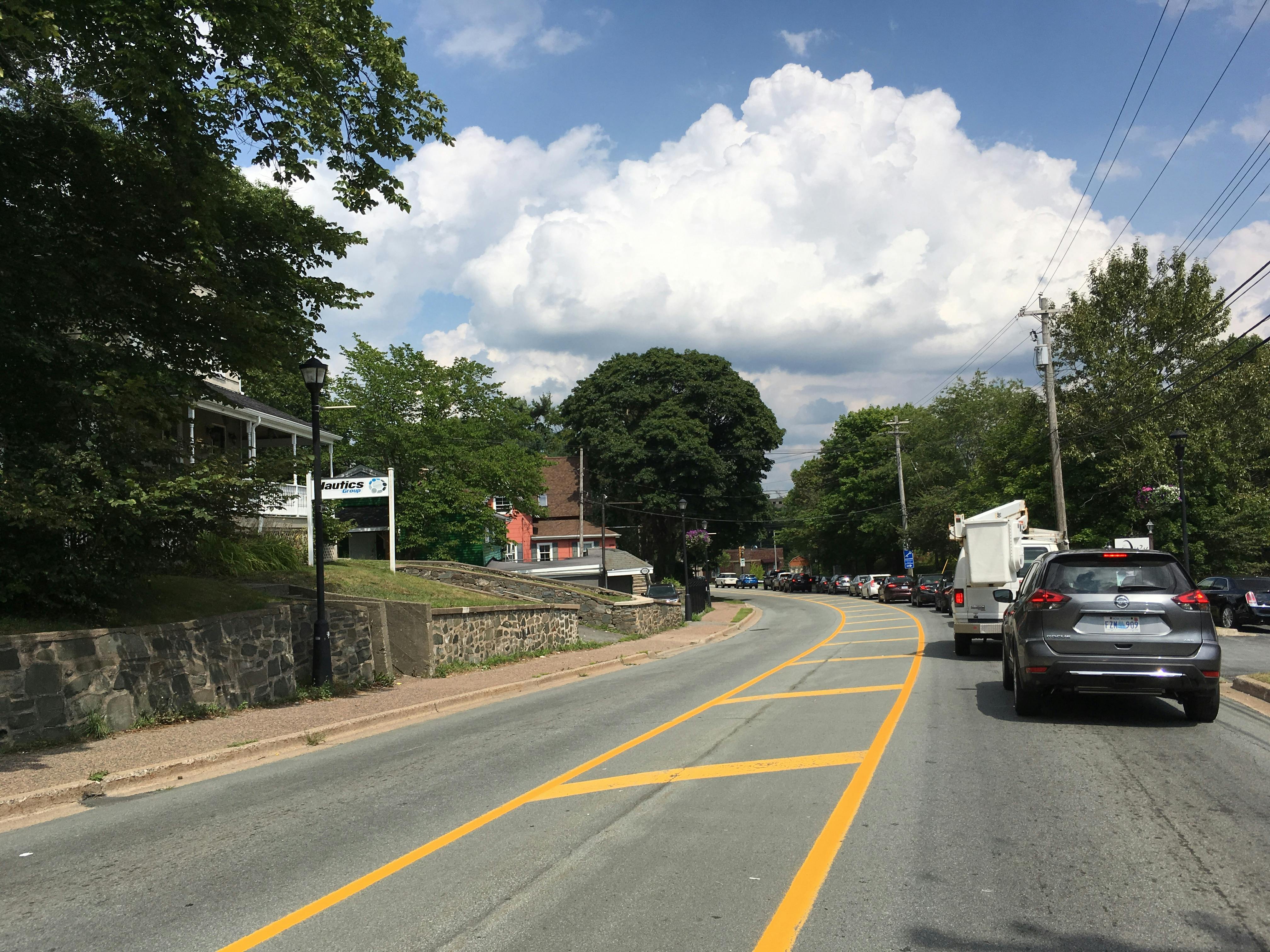
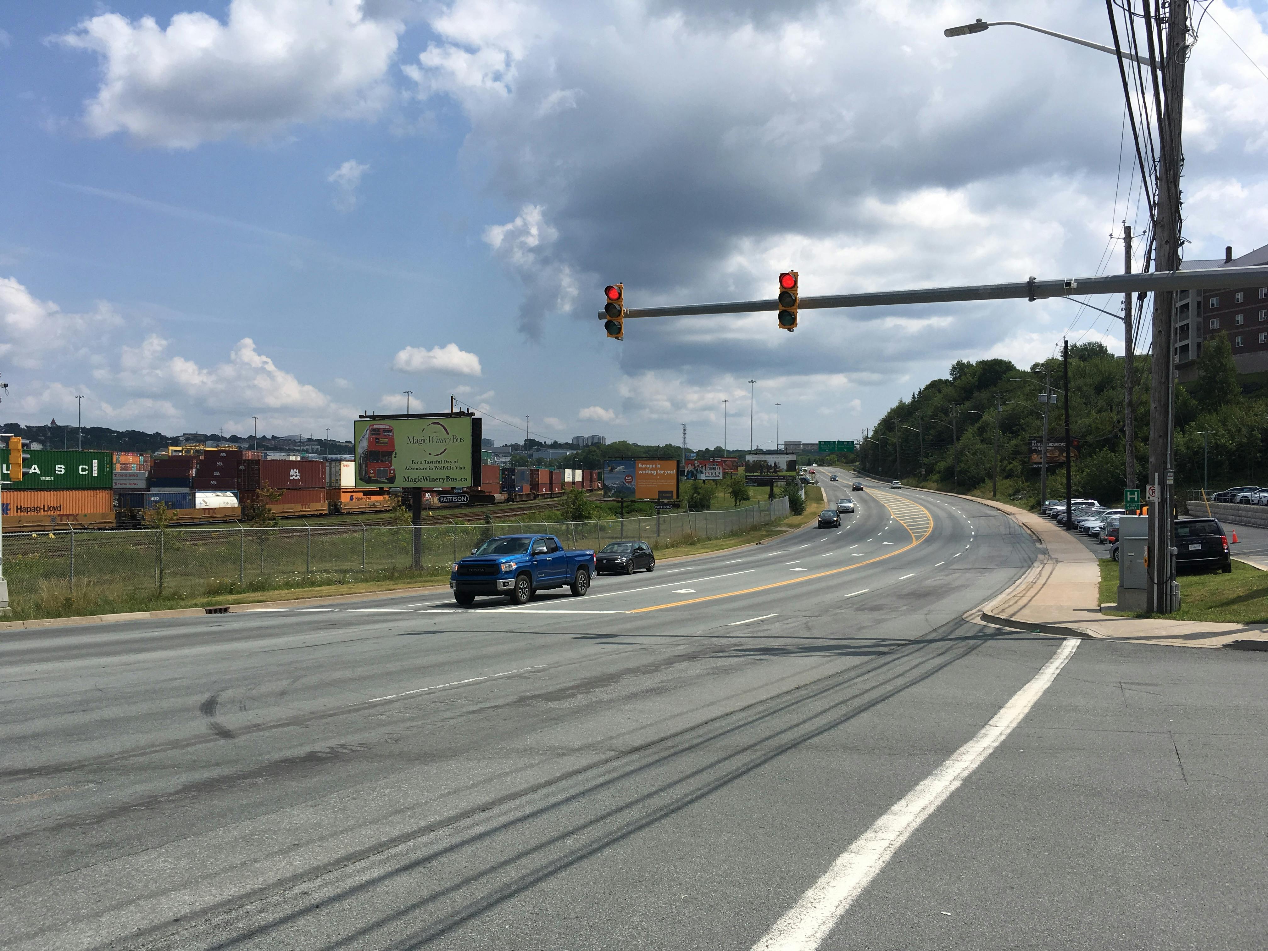
The Bedford Highway is an important transportation corridor running approximately 11.5 km between Windsor Street and Highway 102. It serves as a key north-south connection for both local and regional travel, providing a direct link between the Regional Centre and suburbs along the west and north sides of the Bedford Basin. It currently accommodates more than 20,000 vehicles per day, and is served by 10 Halifax Transit routes. As a key commuter route, it is subject to heavy volumes and congestion during weekday morning and afternoon peak periods. Various studies have been completed in the past that have considered opportunities to improve transportation capacity between Halifax and Bedford, however, there has yet to be a detailed investigation of the Bedford Highway itself in terms of its ultimate potential to move people.
The municipality's Integrated Mobility Plan (IMP) aims to improve the sustainability of transportation in the region by reducing the reliance on private automobiles for travel. To meet the targets included in the IMP increased priority and improved infrastructure for transit, walking and cycling will be required. The IMP identifies the Bedford Highway as a proposed ‘Transit Priority Corridor’, where increased transit priority measures are desired. The IMP also endorses further consideration of the potential for commuter rail service via CN’s Bedford-Halifax corridor, which runs directly adjacent to the Bedford Highway. Though the IMP does recommend strategic “bottleneck” improvements to the roadway network where possible, it also discourages further investment in additional roadway infrastructure in favor of encouraging non-automobile options.
Recognizing the two-way relationship between transportation and land use planning, it will be essential to consider the development potential along the Bedford Highway based on proposed corridor configuration scenarios. A pertinent example is the potential for commuter rail service – the implications of this potential higher order transit service for the Bedford Highway corridor will be an important consideration, both in terms of the transportation infrastructure required to accommodate access to the service and the land use planning and development needed to provide sufficient density to enable the service to succeed.
The Bedford Highway Functional Plan will result in design drawings that depict how the entire length of the Bedford Highway should look, feel and function in support of moving people within and through the corridor. This plan will guide future investments and land use planning decisions over the next several years.
Document Library
-
 Bedford Highway Functional Plan - Final Report - March 2020
-
 Bedford Highway Functional Plan - Final Report (27 MB) (pdf)
-
 Appendix A1 - Bedford Highway - What We Heard Report (1.87 MB) (pdf)
-
Appendix A2 - Bedford Highway Phase 2 Survey Results (1.17 MB) (pdf)
-
Appendix B - Bedford Highway Traffic Volumes (1.45 MB) (pdf)
-
Appendix C - Bedford Synchro Reports (1.96 MB) (pdf)
-
Appendix D - Transit Performance Analysis (4.07 MB) (pdf)
-
Appendix E - MMLOS Reference Tables (577 KB) (pdf)
-
Appendix F - MMLOS Results (662 KB) (pdf)
-
Appendix G - Cycling Selection Worksheets (475 KB) (pdf)
-
Appendix H - TPM Assessment Worksheets (663 KB) (pdf)
-
Appendix I - Facility Design Criteria (121 KB) (pdf)
-
Appendix J - Concept Cross-Sections (3.17 MB) (pdf)
-
Appendix K - Concept Descriptions and Schematics (790 KB) (pdf)
-
Appendix L1 - Segment Drawings of Option 1 (50.1 MB) (pdf)
-
Appendix L2 - Segment Drawings of Option 2 (17.9 MB) (pdf)
-
Appendix M - Typical AT Treatments (1.34 MB) (pdf)
-
-
Bedford Highway Functional Plan - Phase 2 - March 2019


Photos
Videos
-
 This video provides an overview of the approach being used for the Bedford Highway functional plan and contains the fundamentals of transportation planning for this area.