Share Downtown Bikeways on FacebookShare Downtown Bikeways on TwitterShare Downtown Bikeways on LinkedinEmail Downtown Bikeways link
Why this project, and why now?
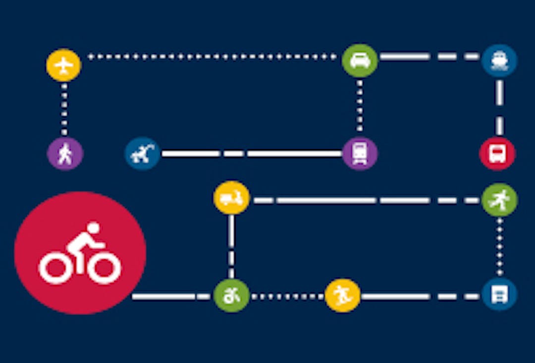
In support of the Integrated Mobility Plan’s target of building a network of bicycling facilities designed for all ages and abilities inside the Regional Centre by 2022, planning is underway to improve the comfort, safety and continuity of bikeway connections into and through the downtown. The streets being considered for protected bike lanes include: Hollis Street, Upper Water Street, Lower Water Street, George Street and Terminal Road. Also being considered is how the downtown bikeways will connect to the future bikeways planned for the redeveloped Cogswell Interchange lands and to the Seaport Market, train station and Barrington Street Superstore.
Project Objectives
Develop a bicycling route through downtown Halifax designed for all ages and abilities (AAA)
Connect future bikeways planned for the Cogswell interchange lands with the ferry terminal, Grand Parade and destinations to the south, including the Seaport Market, train station and Barrington Street Superstore
Plan for connections to existing and future bikeways in the downtown (i.e., IMP’s AAA Bicycle Network & candidate bicycling routes in HRM’s Active Transportation Priorities Plan)
Understand and accommodate other street uses (e.g., loading, accessible parking, transit stops
Evaluate the design options as per Appendix E of the AT Priorities Plan: “Evaluation Criteria for New Bicycle Facilities”
How can you participate?
We are currently reviewing public input from our engagement sessions and online survey responses. We invite you to review our information panels, and stay tuned for a “What We Heard” summary of all public input received to date.
Our online survey is now closed.
Why this project, and why now?
In support of the Integrated Mobility Plan’s target of building a network of bicycling facilities designed for all ages and abilities inside the Regional Centre by 2022, planning is underway to improve the comfort, safety and continuity of bikeway connections into and through the downtown. The streets being considered for protected bike lanes include: Hollis Street, Upper Water Street, Lower Water Street, George Street and Terminal Road. Also being considered is how the downtown bikeways will connect to the future bikeways planned for the redeveloped Cogswell Interchange lands and to the Seaport Market, train station and Barrington Street Superstore.
Project Objectives
Develop a bicycling route through downtown Halifax designed for all ages and abilities (AAA)
Connect future bikeways planned for the Cogswell interchange lands with the ferry terminal, Grand Parade and destinations to the south, including the Seaport Market, train station and Barrington Street Superstore
Plan for connections to existing and future bikeways in the downtown (i.e., IMP’s AAA Bicycle Network & candidate bicycling routes in HRM’s Active Transportation Priorities Plan)
Understand and accommodate other street uses (e.g., loading, accessible parking, transit stops
Evaluate the design options as per Appendix E of the AT Priorities Plan: “Evaluation Criteria for New Bicycle Facilities”
How can you participate?
We are currently reviewing public input from our engagement sessions and online survey responses. We invite you to review our information panels, and stay tuned for a “What We Heard” summary of all public input received to date.