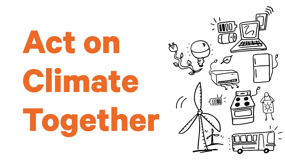
HalifACT is one of the most ambitious climate action movements in Canada.
It's our community response to the climate crisis that will build a more resilient and healthy future in Atlantic Canada while preparing for current and future climate impacts. On June 23, 2020, Halifax Regional Council unanimously adopted HalifACT – a transformational plan to achieve a net-zero economy by 2050.
HalifACT lays out how we’ll reduce emissions, switch to clean and reliable energy sources, grow our green economy, and show leadership from local government.
Halifax Public Libraries and HalifACT are partnering to learn from you. We are committed to making deep change, but success relies on all of us being supported to engage and take action.
From February - May 2023, we collaborated on a three-part series of pop-up community engagements in Library branches across HRM to learn how people are currently experiencing climate change, what questions they have, and what climate actions matter to them.
We will use your feedback to create climate resources, programs and supports for effective climate action. The What We Heard reports summarizing your feedback are linked on the right-hand menu of this page. The Halifax Public Libraries have also shared resources for climate action based on what we heard.
Below are summaries of the three-part engagement series:
Engagement #1 – What’s Your Climate 101?
 Bedford Public Library Engagement
The devastation caused by Hurricane Fiona in September 2022 was an alarming reminder of the growing climate crisis. Climate change poses risks for people, the built environment, natural systems and resources, economies, livelihoods, and safety. There is an urgent need for all of us to take action to slow climate change (mitigation) and prepare for climate impacts (adaptation).
During the first round of engagement, we asked residents to share what they want to know about climate change and what they are seeing in day-to-day life. Please click here to read the What We Heard report.
Engagement #2 – Slowing Climate Change
We can slow climate change by reducing the amount of carbon we’re putting into our atmosphere by changing Cole Harbour Public Library Engagement
how we produce and use energy. NOW IS THE TIME.
Slowing (mitigation) and preparing for (adaptation) climate change are two important parts of taking climate action. Mitigation reduces harm while adaptation prepares us for the effects of climate change.
During the second round of engagement, we asked residents what they think will help slow climate change using the below options as a guide:
Electric vehicles & charging stations | Public transit |
Walking & cycling routes | Green buildings |
Solar, wind and other renewable energy | What else? |
Please click here to read the What We Heard report.
Engagement #3 - Preparing for Climate Change
 Alderney Gate Public Library EngagementClimate change means extreme weather happens more often. Heatwaves, wildfires, flooding, hurricanes and
blizzards can cause power outages and damage buildings, roads, communications equipment, and water / wastewater systems. Supply chains may be interrupted, making it difficult to get every day products and materials. People could experience physical and mental health issues creating more need for emergency services. We can work together to strengthen our communities, ecosystems and economy. During the third round of engagement, we asked residents what they need to feel prepared for the impacts of climate change for themselves, families, and communities.
Please click
here to read the What We Heard report.
HalifACT is one of the most ambitious climate action movements in Canada.
It's our community response to the climate crisis that will build a more resilient and healthy future in Atlantic Canada while preparing for current and future climate impacts. On June 23, 2020, Halifax Regional Council unanimously adopted HalifACT – a transformational plan to achieve a net-zero economy by 2050.
HalifACT lays out how we’ll reduce emissions, switch to clean and reliable energy sources, grow our green economy, and show leadership from local government.
Halifax Public Libraries and HalifACT are partnering to learn from you. We are committed to making deep change, but success relies on all of us being supported to engage and take action.
From February - May 2023, we collaborated on a three-part series of pop-up community engagements in Library branches across HRM to learn how people are currently experiencing climate change, what questions they have, and what climate actions matter to them.
We will use your feedback to create climate resources, programs and supports for effective climate action. The What We Heard reports summarizing your feedback are linked on the right-hand menu of this page. The Halifax Public Libraries have also shared resources for climate action based on what we heard.
Below are summaries of the three-part engagement series:
Engagement #1 – What’s Your Climate 101?
Bedford Public Library EngagementThe devastation caused by Hurricane Fiona in September 2022 was an alarming reminder of the growing climate crisis. Climate change poses risks for people, the built environment, natural systems and resources, economies, livelihoods, and safety. There is an urgent need for all of us to take action to slow climate change (mitigation) and prepare for climate impacts (adaptation).
During the first round of engagement, we asked residents to share what they want to know about climate change and what they are seeing in day-to-day life. Please click here to read the What We Heard report.
Engagement #2 – Slowing Climate Change
We can slow climate change by reducing the amount of carbon we’re putting into our atmosphere by changingCole Harbour Public Library Engagement
how we produce and use energy. NOW IS THE TIME.
Slowing (mitigation) and preparing for (adaptation) climate change are two important parts of taking climate action. Mitigation reduces harm while adaptation prepares us for the effects of climate change.
During the second round of engagement, we asked residents what they think will help slow climate change using the below options as a guide:
Electric vehicles & charging stations | Public transit |
Walking & cycling routes | Green buildings |
Solar, wind and other renewable energy | What else? |
Please click here to read the What We Heard report.
Engagement #3 - Preparing for Climate Change
Alderney Gate Public Library EngagementClimate change means extreme weather happens more often. Heatwaves, wildfires, flooding, hurricanes and
blizzards can cause power outages and damage buildings, roads, communications equipment, and water / wastewater systems. Supply chains may be interrupted, making it difficult to get every day products and materials. People could experience physical and mental health issues creating more need for emergency services. We can work together to strengthen our communities, ecosystems and economy. During the third round of engagement, we asked residents what they need to feel prepared for the impacts of climate change for themselves, families, and communities.
Please click
here to read the What We Heard report.