Rainnie Drive - Brunswick Street Complete Streets

Overview
The Integrated Mobility Plan (IMP) and future Centre Plan Package B identify Rainnie Drive and part of Brunswick Street as locations for enhanced streetscaping and protected bikeways. As future development projects and residential density in the downtown core increase, significant activities will bring new transportation demands to the area. Using Halifax’s Complete Streets approach, this project will propose changes to Rainnie Drive/Gottingen Street and Brunswick Street to improve safety and connectivity for people walking and cycling while also considering transit, accessibility, placemaking, urban forestry, vehicle traffic, loading, parking and other factors.
Background
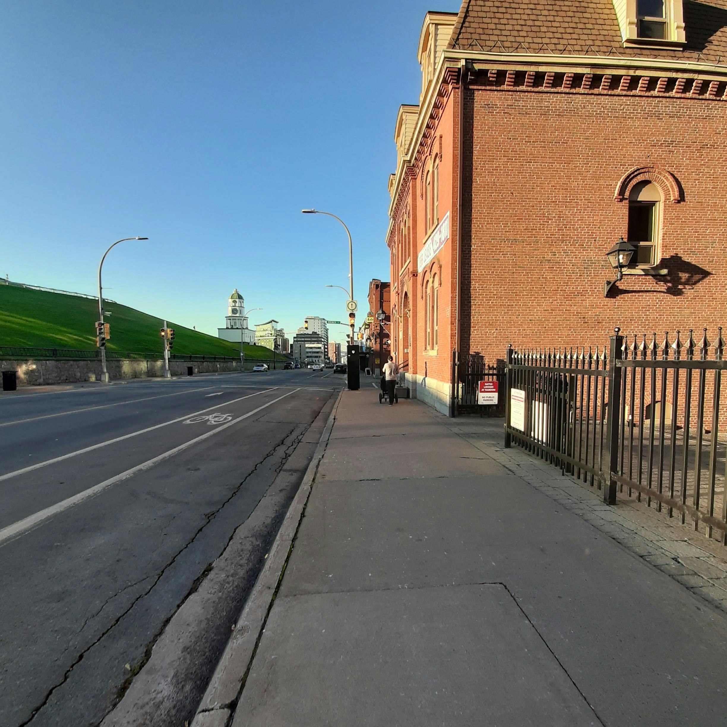
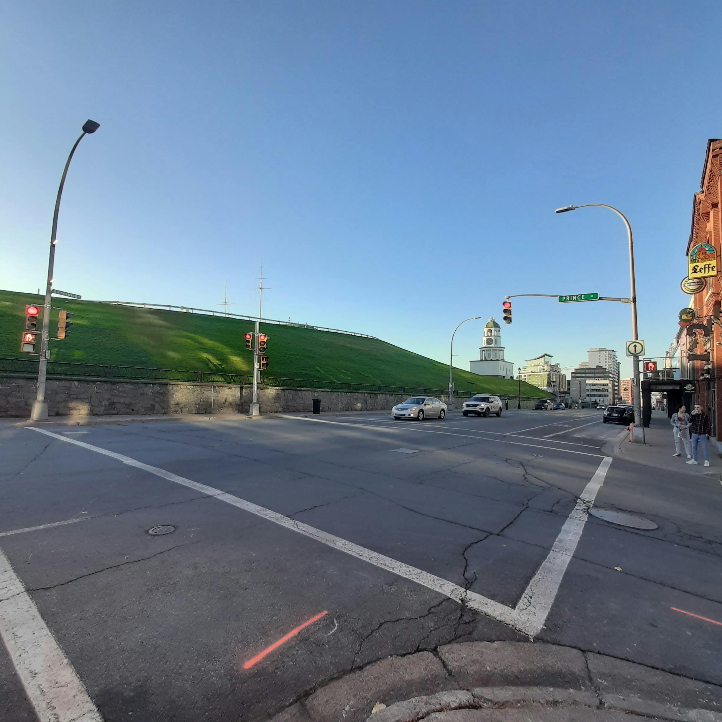
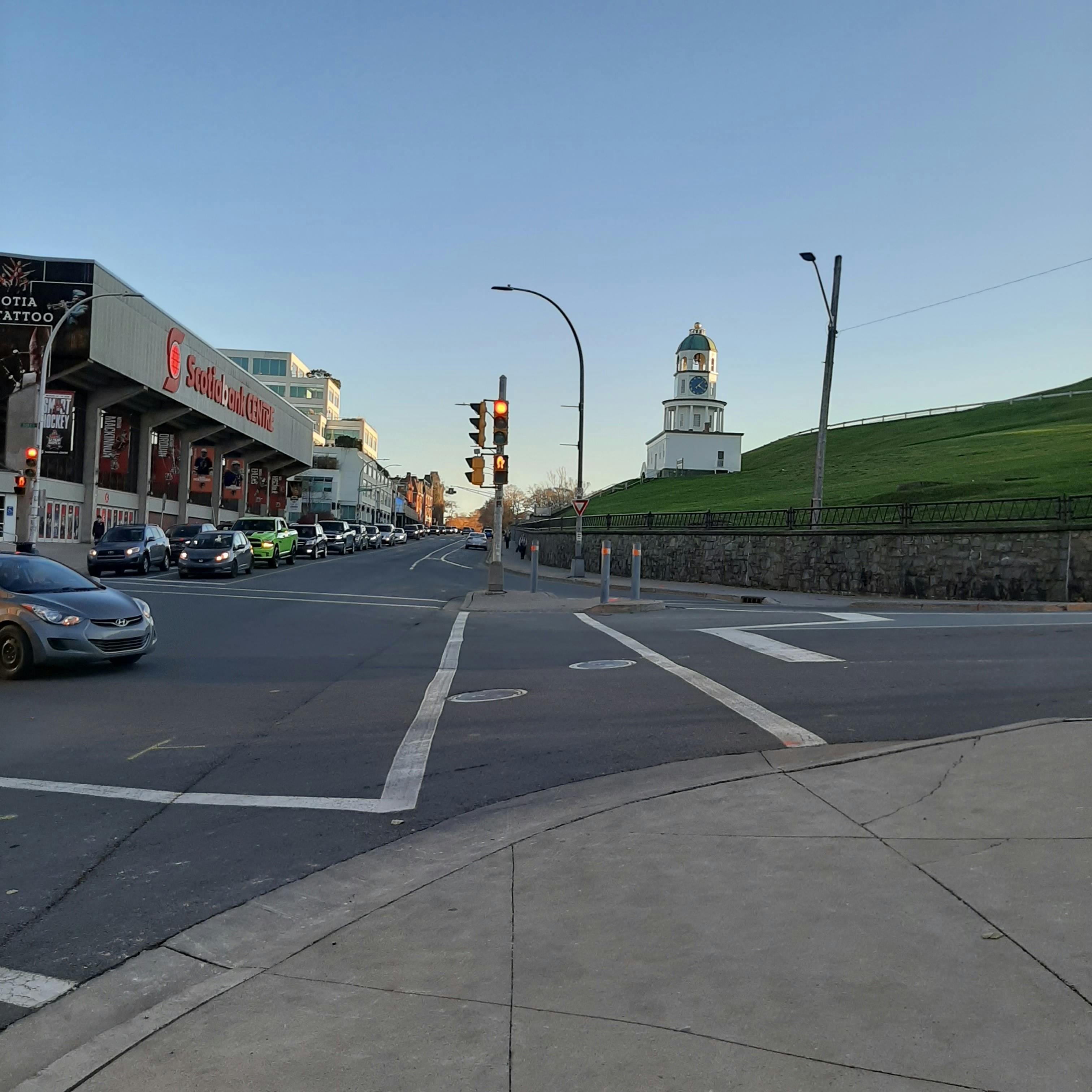
Bordering the eastern and northern walls of the Halifax Citadel, Rainnie Drive and Brunswick Street are at the intersection of the historic downtown, the Halifax Commons, as well as major shopping, educational and entertainment districts. The corridor provides an important link for residents and tourists, connecting the north end to downtown, and providing access to Dalhousie University, the hospitals, and downtown transit hubs. The corridor is an important active transportation link, but there is a lack of connection to several lanes.
As part of the Regional Centre, the municipality has put in place strategic investment and guiding principles for the corridor. The Integrated Mobility Plan (IMP) identifies the project area for protected bikeways as part of the All Ages and Abilities (AAA) bicycle network. Consideration of cycling infrastructure, pedestrian crossing locations, streetscape amenities, parking and loading needs, as well as traffic requirements, will all be considered in the application of Complete Streets principles. Through the improvement of pedestrian and cycling connections, Brunswick Street and Rainnie Drive will become cornerstones of active transportation in the downtown core.
What do we mean by “Complete Streets?” Complete Streets is one of the foundational policies of the Integrated Mobility Plan (IMP). The objective of the policy is to “meet the needs of all ages, abilities and travel modes in the design and maintenance of streets.” This is achieved through a holistic, flexible and context-sensitive approach to designing new streets or changes to existing streets.
The Complete Streets approach implements multiple design features to accommodate various combinations of transportation modes, including walking, cycling, using transit and driving. The context and intended role of a street are critical factors in establishing a Complete Street design.
To learn more about the municipality’s Complete Streets approach, check out Section 2.3 of the Integrated Mobility Plan.
Project Goal
Using a Complete Street approach, the goal of this project is to develop functional plan options for new pedestrian and cycling infrastructure and other related improvements on Rainnie Drive and Brunswick Street, identify a preferred option, and prepare a tender package for construction targeted for 2023/24.
Project Area

The project area encompasses Brunswick Street from Cogswell Street to Spring Garden Road, Gottingen Street between Rainnie Drive and Brunswick Street, and the entire Rainnie Drive. The project area has been broken into the following:
- Rainnie Drive
- Gottingen Street between Rainnie Drive and Brunswick Street
- Brunswick Street between Cogswell Street and Spring Garden Road
Public and Stakeholder Engagement
Public engagement is now closed. Comments or questions can be sent to the project manager.
-
Using a Complete Street approach, the goal of this project is to develop functional plan options for new pedestrian and cycling infrastructure and other related improvements on Rainnie Drive and Brunswick Street. We're looking for your feedback on those options. Tell us how you currently use this area. What do you like? What would you like to see changed?
Here's a map of the project area:

The project area encompasses Brunswick Street from Cogswell Street to Spring Garden Road, Gottingen Street between Rainnie Drive and Brunswick Street, and the entire Rainnie Drive. The project area has been broken into the following:
- Rainnie Drive
- Gottingen Street between Rainnie Drive and Brunswick Street
- Brunswick Street between Cogswell Street and Spring Garden Road
Residents and stakeholders will be consulted during the functional and preliminary design phases of the project. The following survey is part of the public consultation in the functional design phase. Thanks for your input!
Share Public Survey: Brunswick Street and Rainnie Drive Complete Streets on Facebook Share Public Survey: Brunswick Street and Rainnie Drive Complete Streets on Twitter Share Public Survey: Brunswick Street and Rainnie Drive Complete Streets on Linkedin Email Public Survey: Brunswick Street and Rainnie Drive Complete Streets link
Videos
-
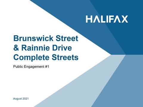 View a presentation about the Brunswick Street & Rainnie Drive complete streets project which includes concept drawings for Brunswick Street.
Background:
In 2017, Regional Council endorsed a new vision for moving people and goods in the municipality. The vision of the Integrated Mobility Plan (IMP) is to create connected, healthy, affordable, and sustainable travel options.
The IMP identified potential protected bikeways, local street bikeways, and multi-use paths to create an All Ages & Abilities (AAA) cycling network throughout our urban centre.
Both Brunswick Street and Rainnie Drive are proposed as part of the protected bikeway network. Although this project will encompass Brunswick Street, Rainnie Drive, and the portion of Gottingen Street that connects them, this presentation focuses on Brunswick Street. Concepts for Rainnie Drive will be shared at a later time.
View a presentation about the Brunswick Street & Rainnie Drive complete streets project which includes concept drawings for Brunswick Street.
Background:
In 2017, Regional Council endorsed a new vision for moving people and goods in the municipality. The vision of the Integrated Mobility Plan (IMP) is to create connected, healthy, affordable, and sustainable travel options.
The IMP identified potential protected bikeways, local street bikeways, and multi-use paths to create an All Ages & Abilities (AAA) cycling network throughout our urban centre.
Both Brunswick Street and Rainnie Drive are proposed as part of the protected bikeway network. Although this project will encompass Brunswick Street, Rainnie Drive, and the portion of Gottingen Street that connects them, this presentation focuses on Brunswick Street. Concepts for Rainnie Drive will be shared at a later time.